Motiqa
Find the road. Ride it. Keep the ride.
A motorcycle app that plans a route worth riding, navigates it turn by turn, and records what the ride actually was — the line you took, the speed you carried, the lean through the corners.
The roads worth riding
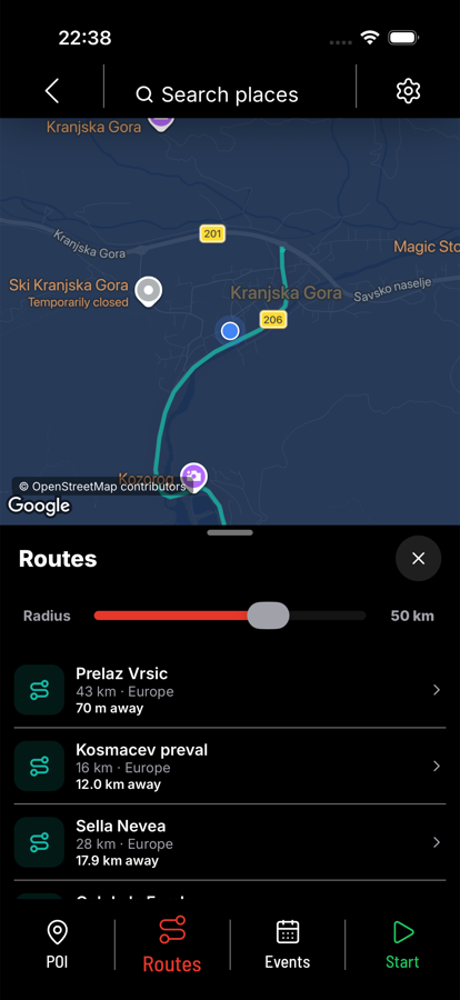
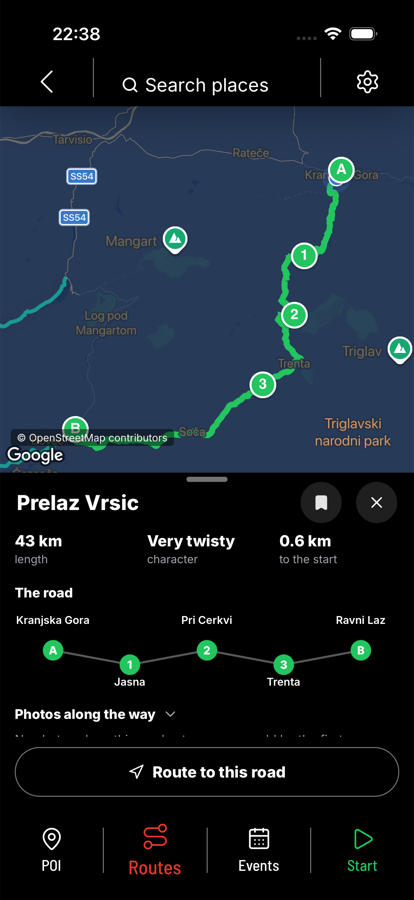
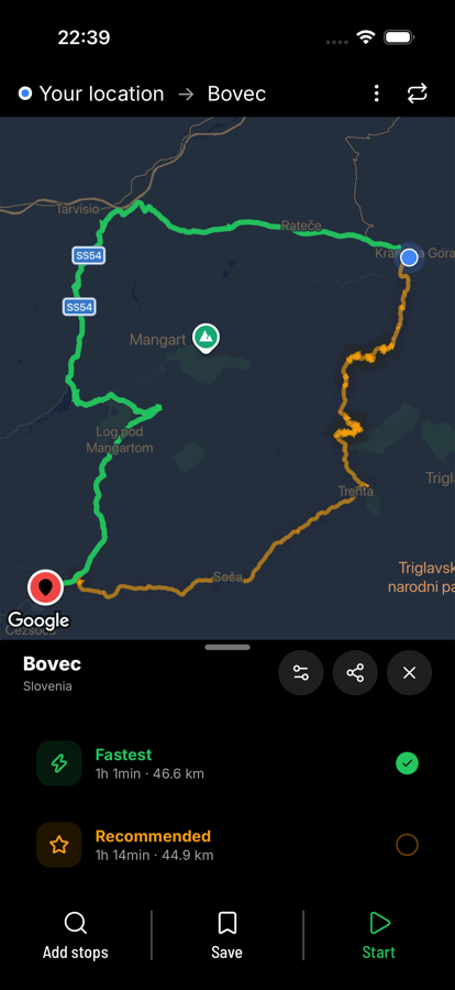
Over two thousand of Europe's best-known roads — alpine passes, coast roads, mountain crossings — are drawn as their own layer on the map. Open one to see its length, how much it bends, and the places it runs through. Then ride to it, and along it: the road stays the road, and the navigation works out how you get there.
Navigation that knows it is a motorcycle
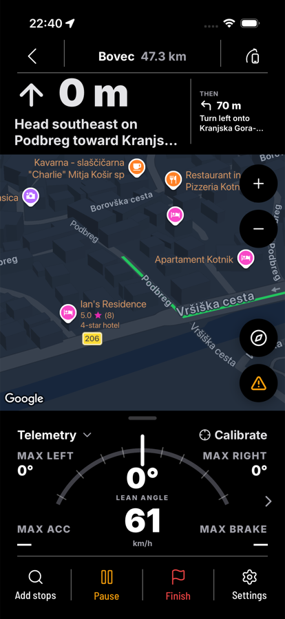
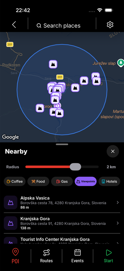
Turn-by-turn directions with spoken instructions and the speed limit for the road you are on. Add a stop mid-route — a viewpoint, fuel, a pass two valleys over — and the route is rebuilt around it.
What the ride actually was
Every ride is recorded: the track, the timing, top and average speed, and telemetry from the phone's own sensors — lean angle left and right, acceleration, braking. Afterwards it is a map of the road you took with the numbers laid over it.
Riders
Share a ride or keep it private. Follow other riders, organise a ride-out, warn the ones behind you about gravel on the pass.
Availability
Motiqa is in development for iPhone. For news or early access, write to support@motiqa.app.